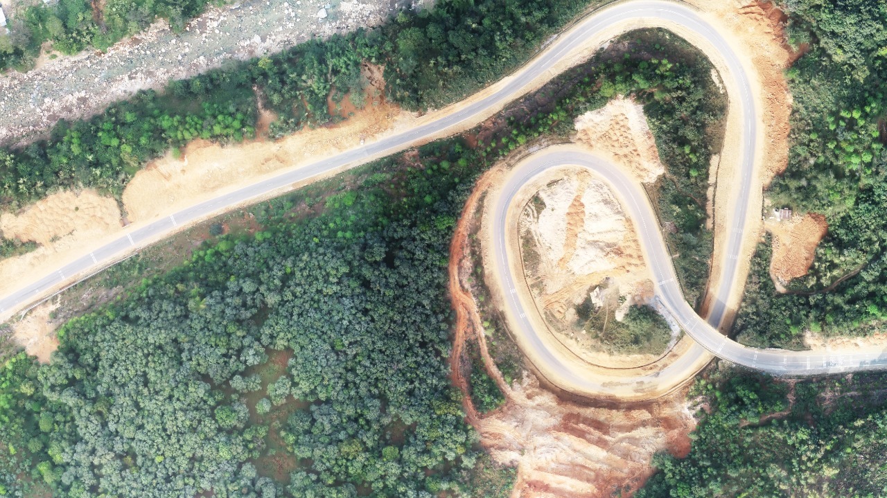
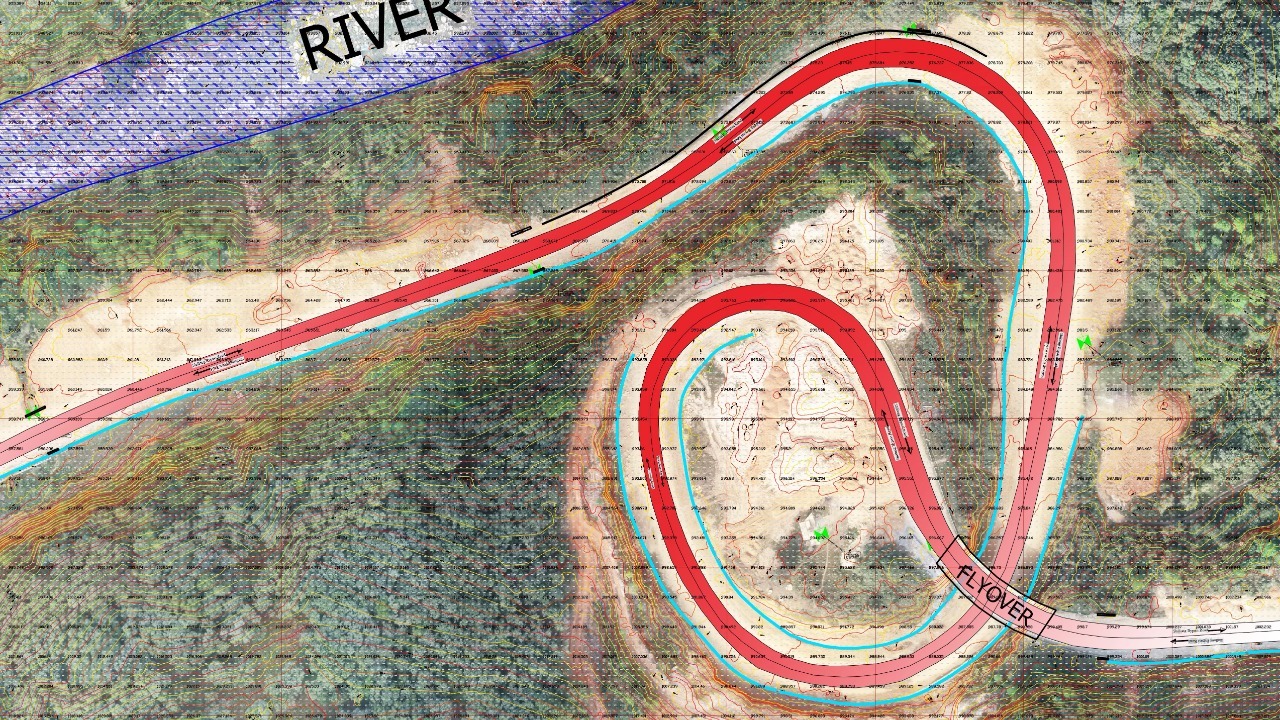
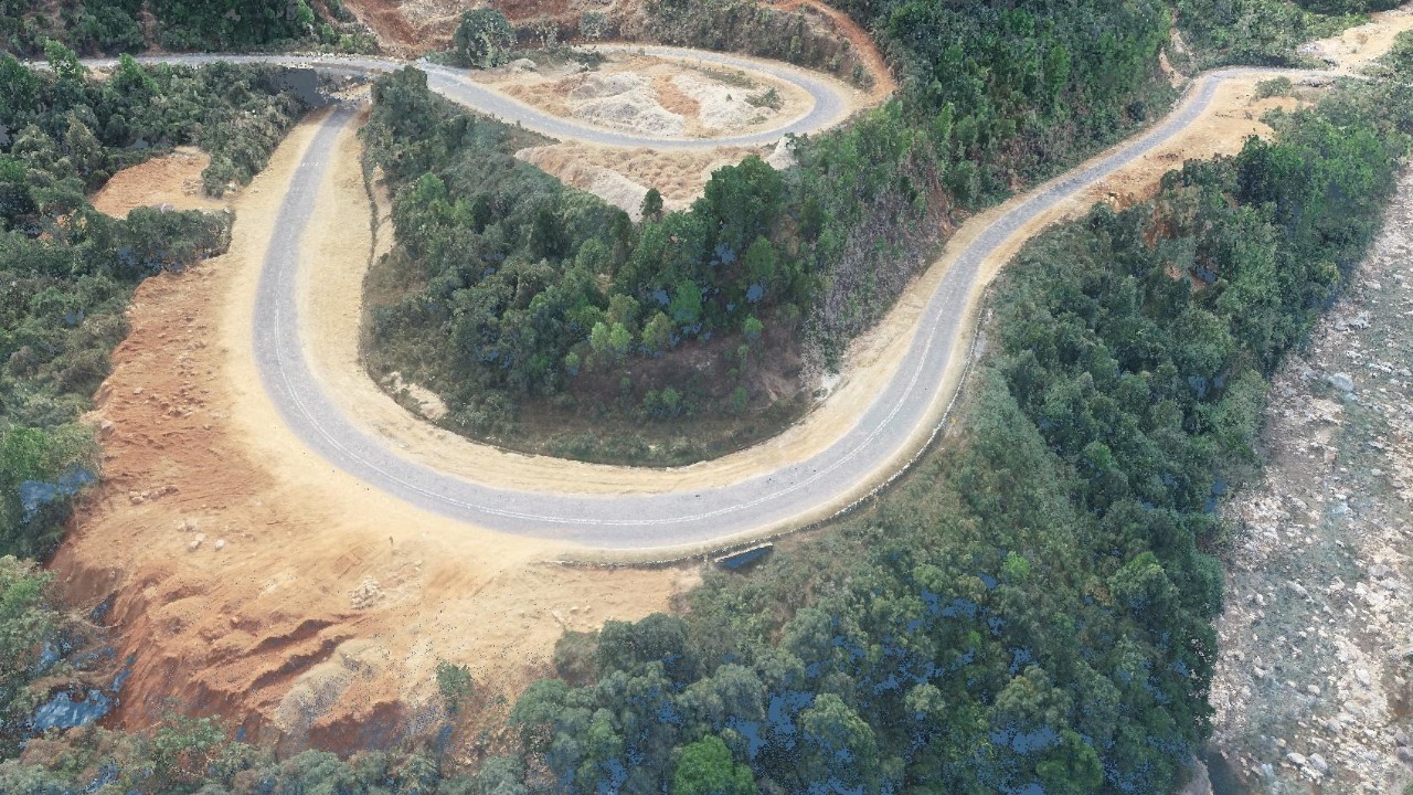
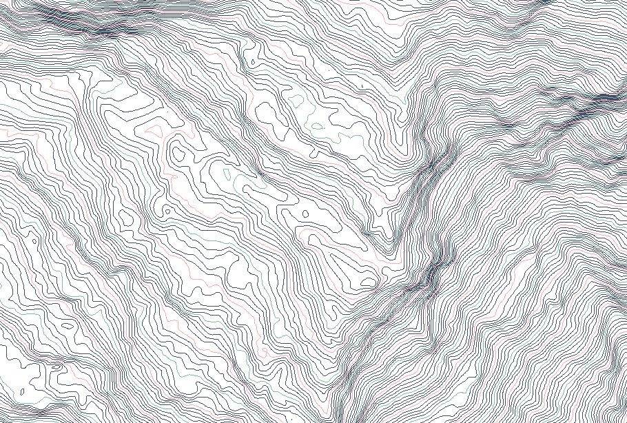
Roadways
Drone-captured aerial photos significantly speed up and simplify topographic surveys for land management and planning. This is true for site exploration, allotment planning and design, and final road, building, and utility construction.

Our Services Include
- Topographical Survey
- High Resolution Ortho
- Progress Monitoring
- Aerial Videography
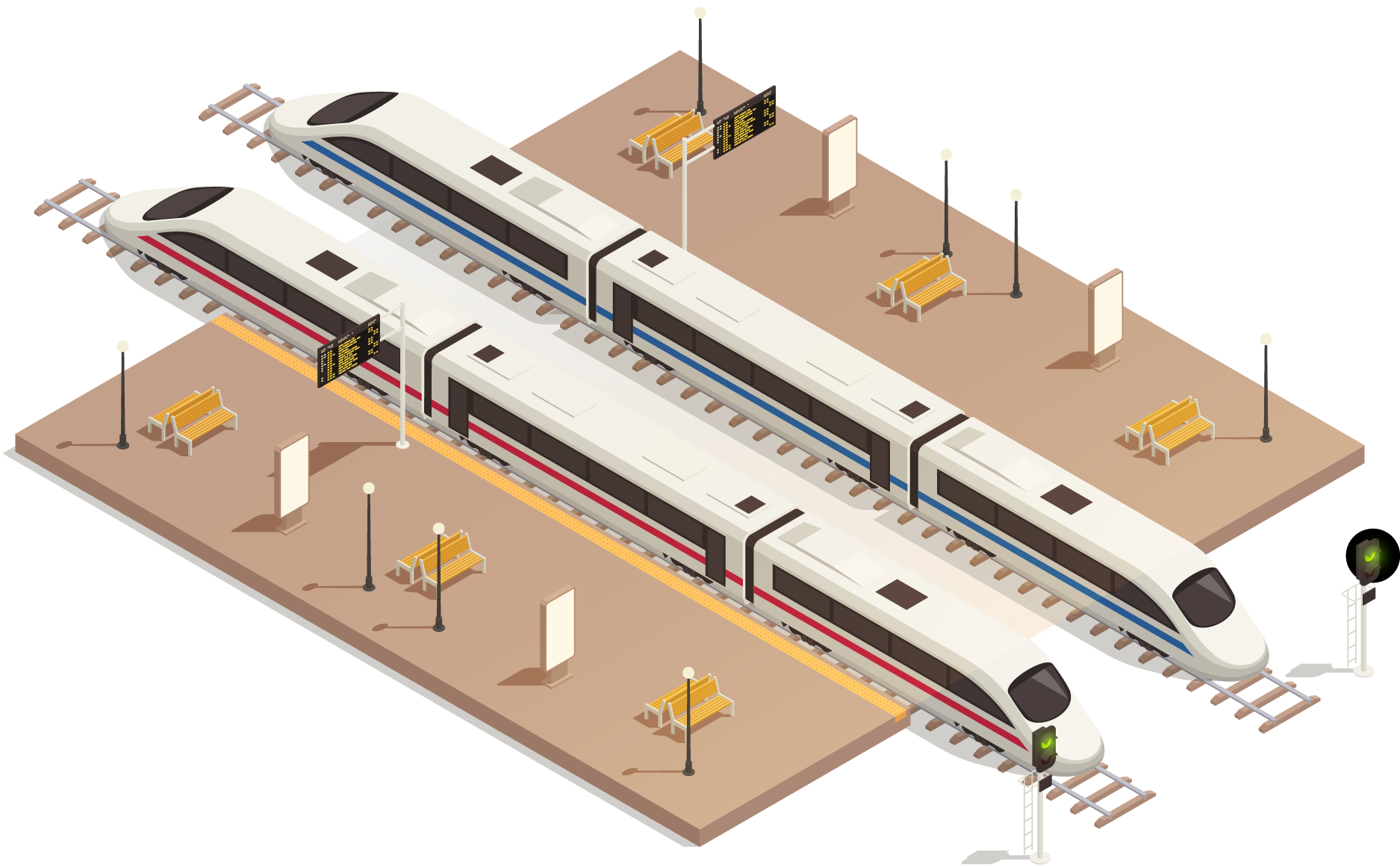
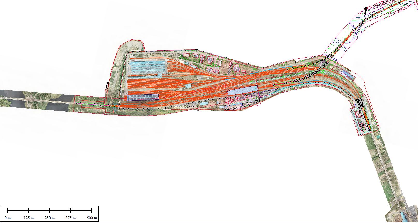
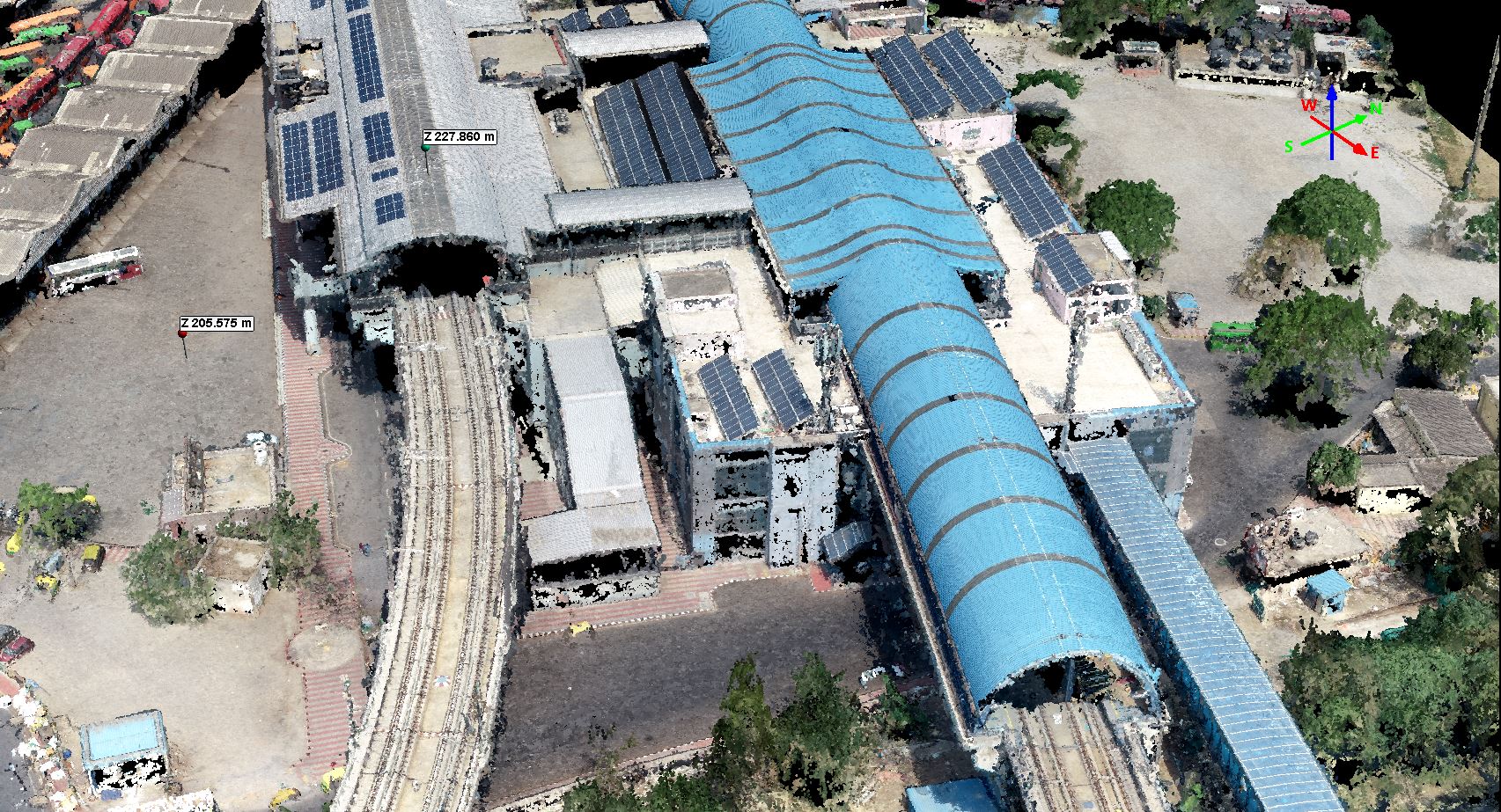
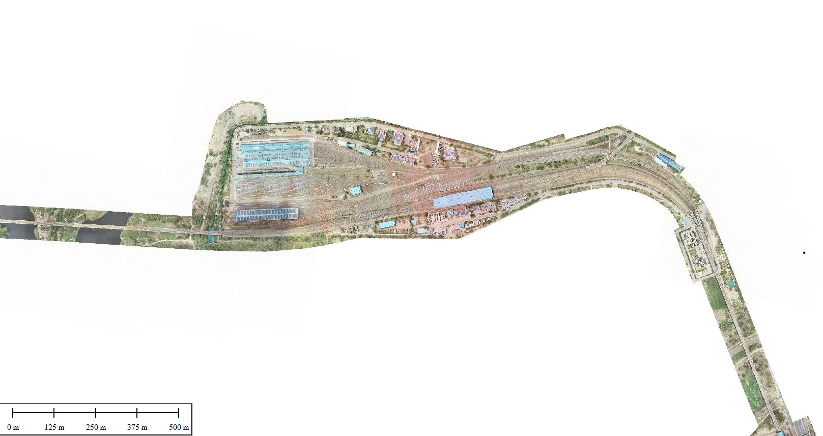
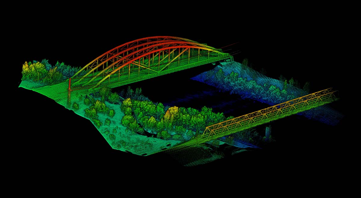
Railways
Drones are utilised to keep track of project progress and assure accountability and efficiency. They are also used to examine railway infrastructure such as bridges, OHE, rooftops, and inaccessible railway infrastructure on a regular basis without endangering life or causing downtime or delays.
Our Services Include
- Topographical Survey
- High Resolution Ortho
- Progress Monitoring
- Aerial Videography
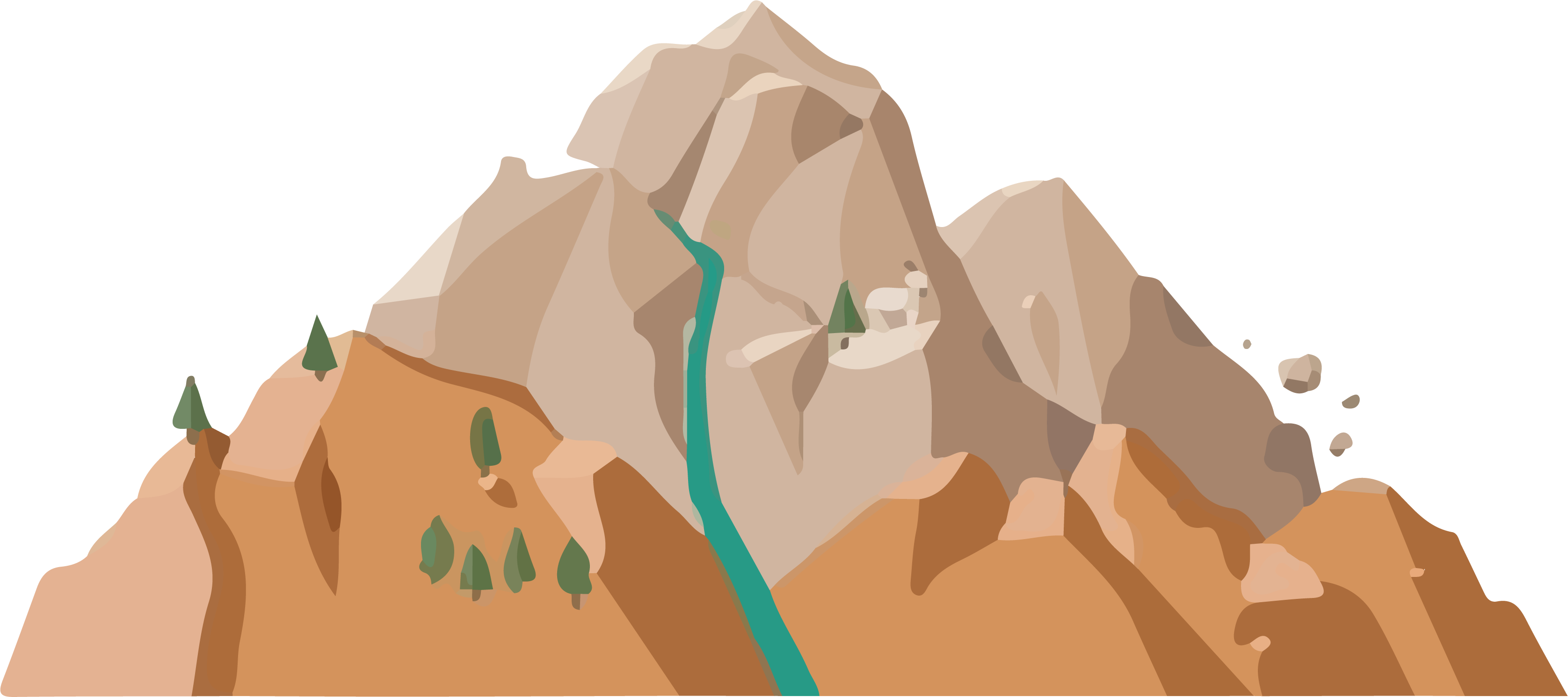
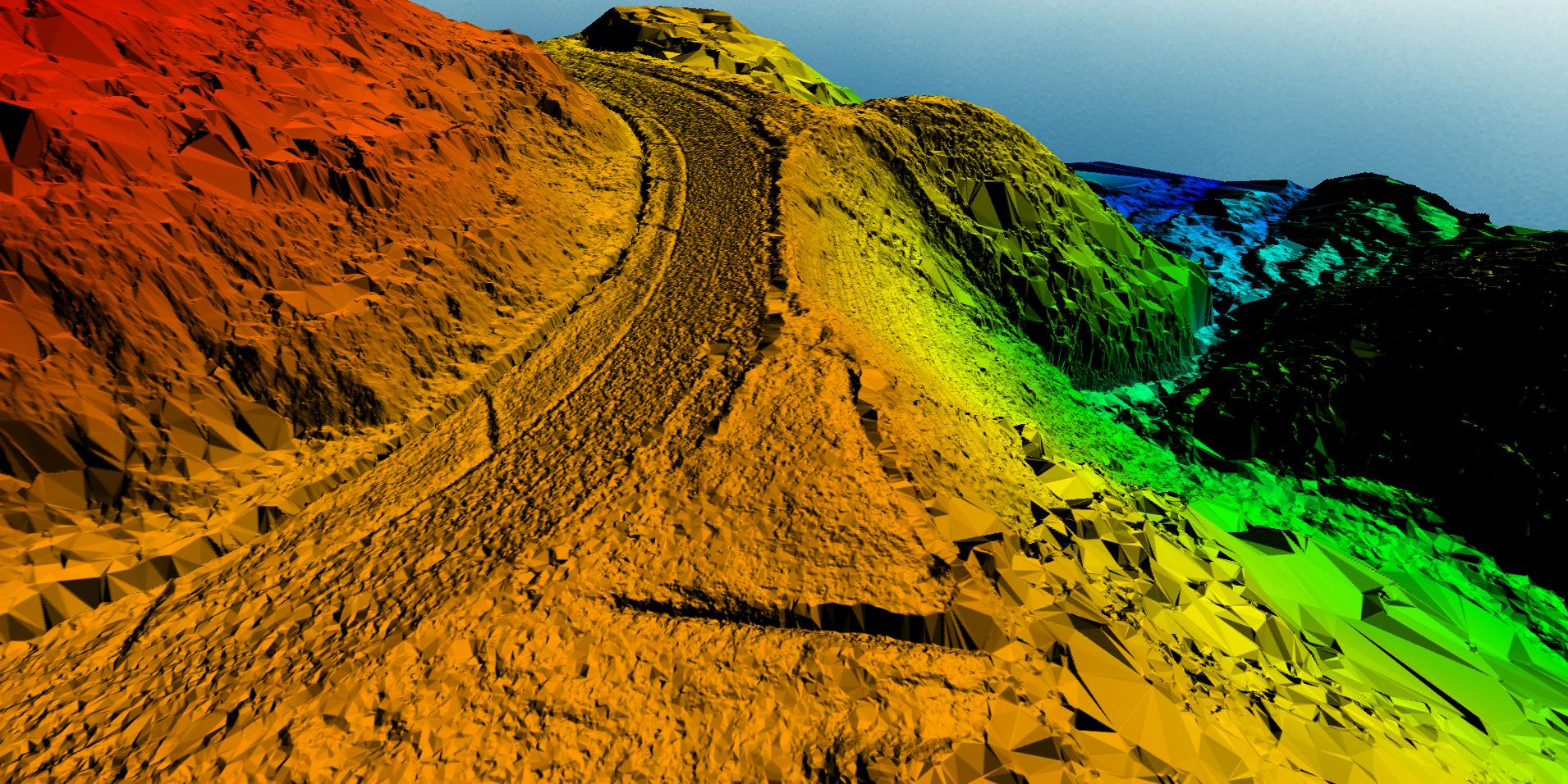
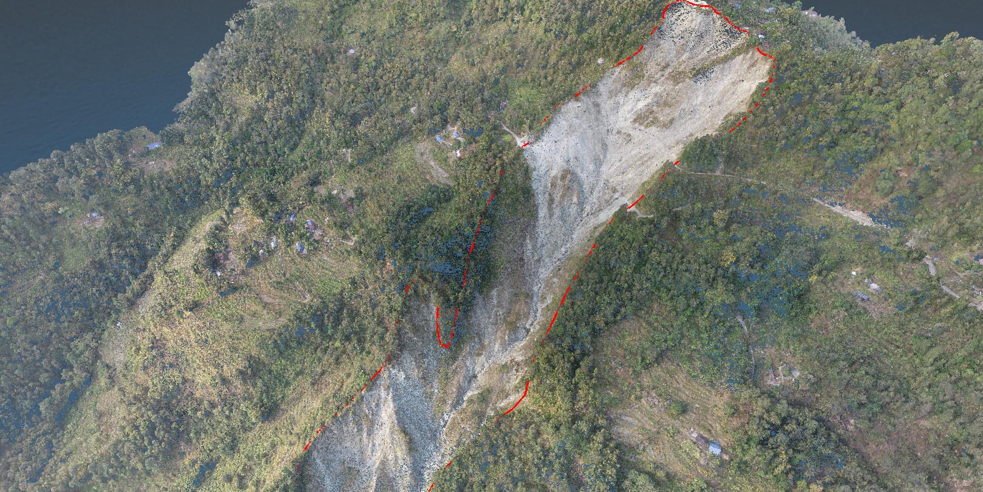
Landslide Mapping
Drone data was utilised to create a landslide inventory in steep areas and to fine-tune the limits of landslides discovered during field investigations. This information is useful not just for mapping past landslides, but also for improving field survey-based investigations.
Our Services Include
- Topographical Survey
- Landslide Mapping
- Videography
- DTM and Contour

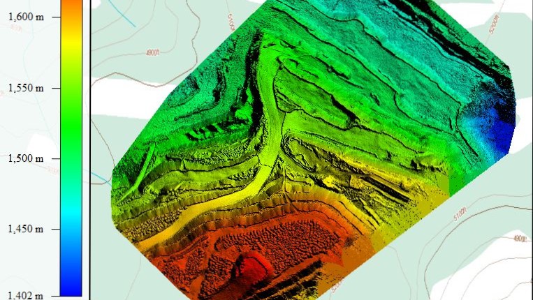
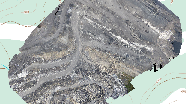
Mining
Drones in mining increase the overall efficiency of major mine and quarry management by giving precise and complete data outlining site conditions in a short period of time. They also facilitate greater coordination between teams on-site and globally, as well as providing dynamic oversight of all operations.
Our Services Include
- Topographic Survey
- Stockpile Calculation
- Change Detection Report
- Progress Monitoring
- Aerial Videography
Oil and Gas
Drones may be used in three primary sectors of the oil and gas industry when it comes to deployment. They can be used in upstream, midstream, and downstream operations by the firms. Drones are rapidly being used by oil and gas businesses to decrease risks and expenses while enhancing productivity by reducing failures and shutdowns.
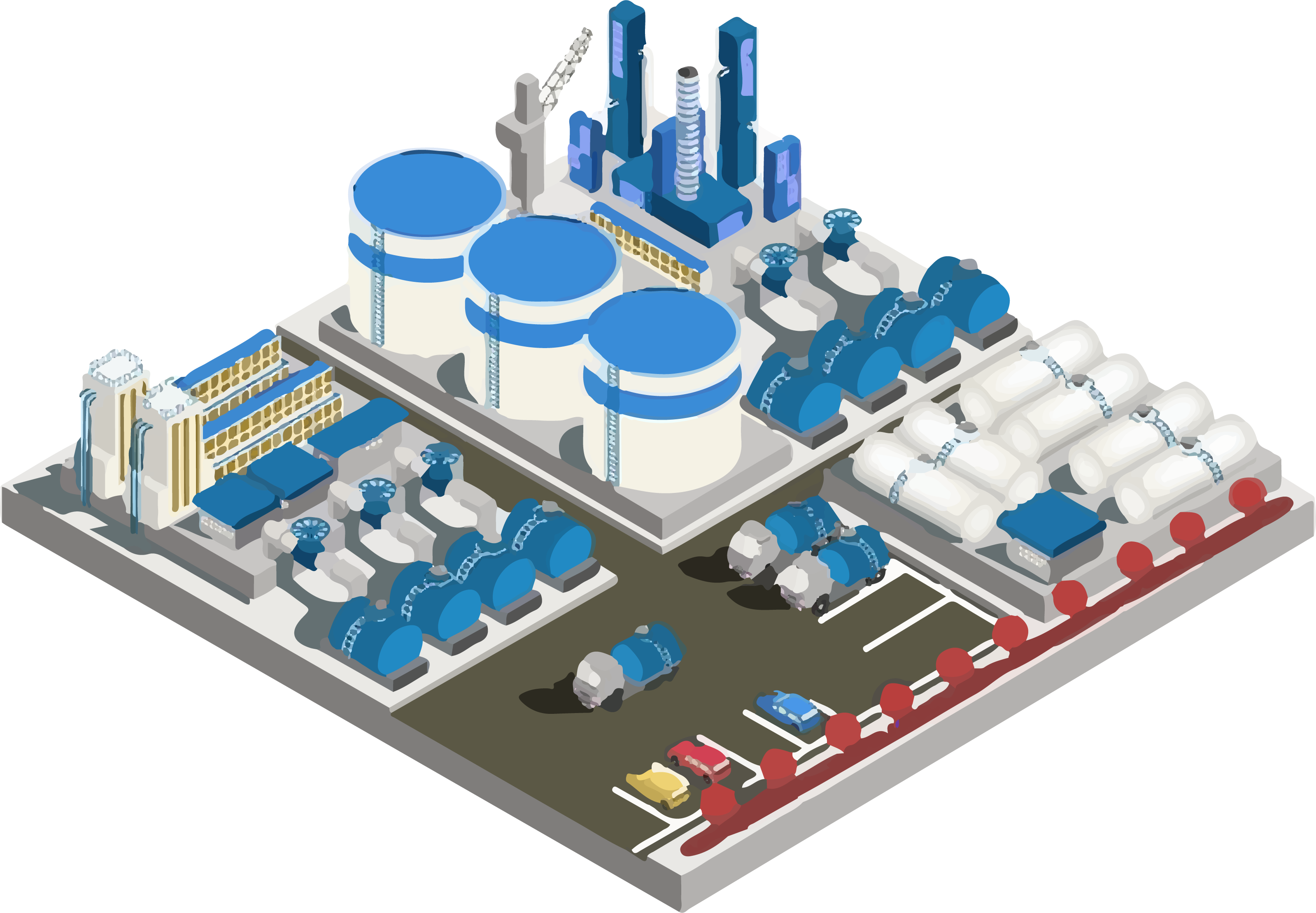

Our Services Include
- Pipeline Mapping
- Industrial Drawing
- 3D Modelling
- Videography
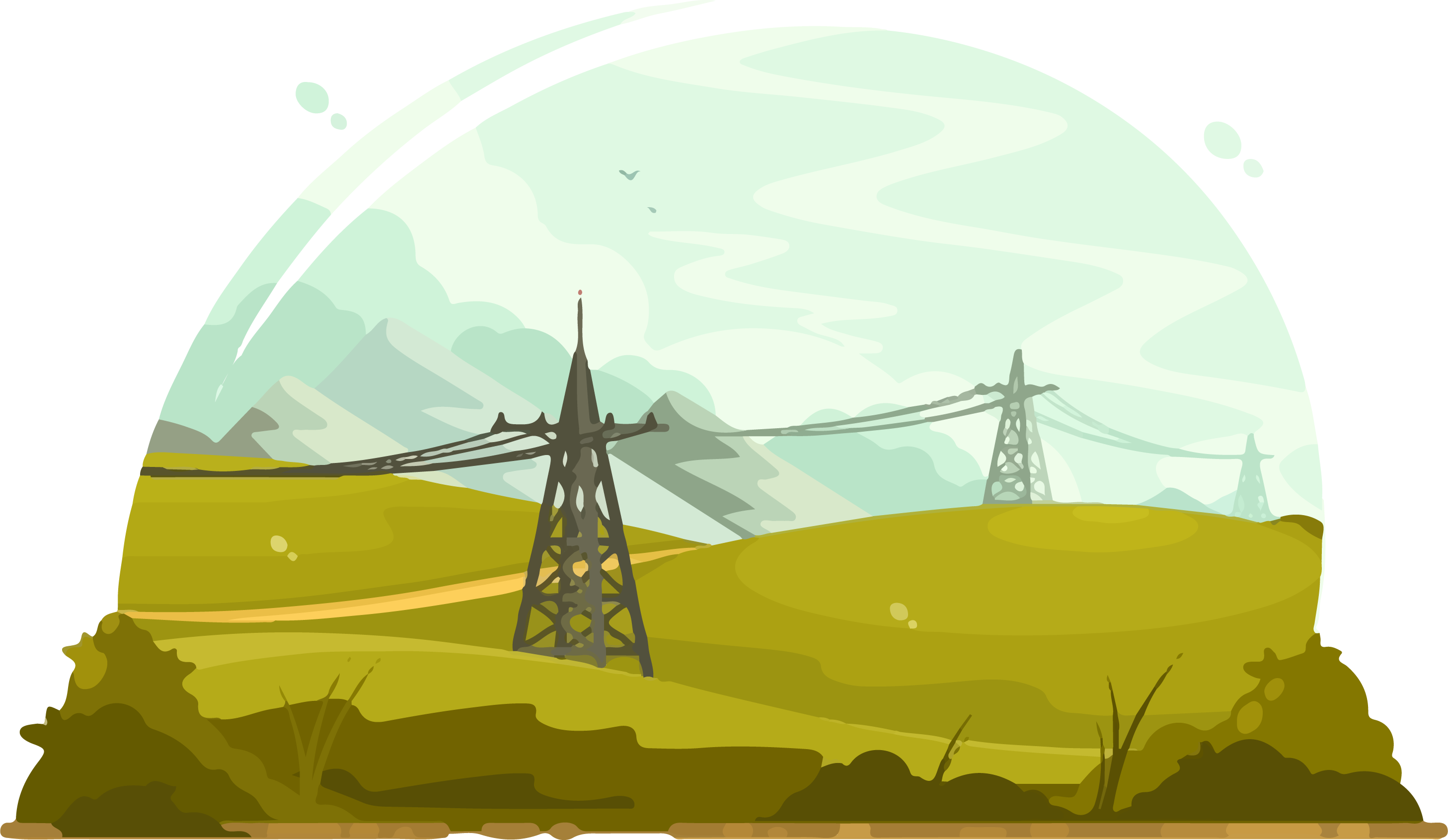
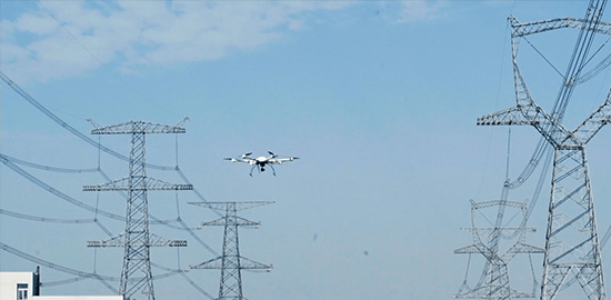
Our Services Include
- 3D Modelling of Towers
- Ground Clearance Calculation
- Vegetation Clearance Calculation
- Damage Report
- Videography
Monument Modelling
Drone-captured aerial photos significantly speed up and simplify topographic surveys for monument modelling.
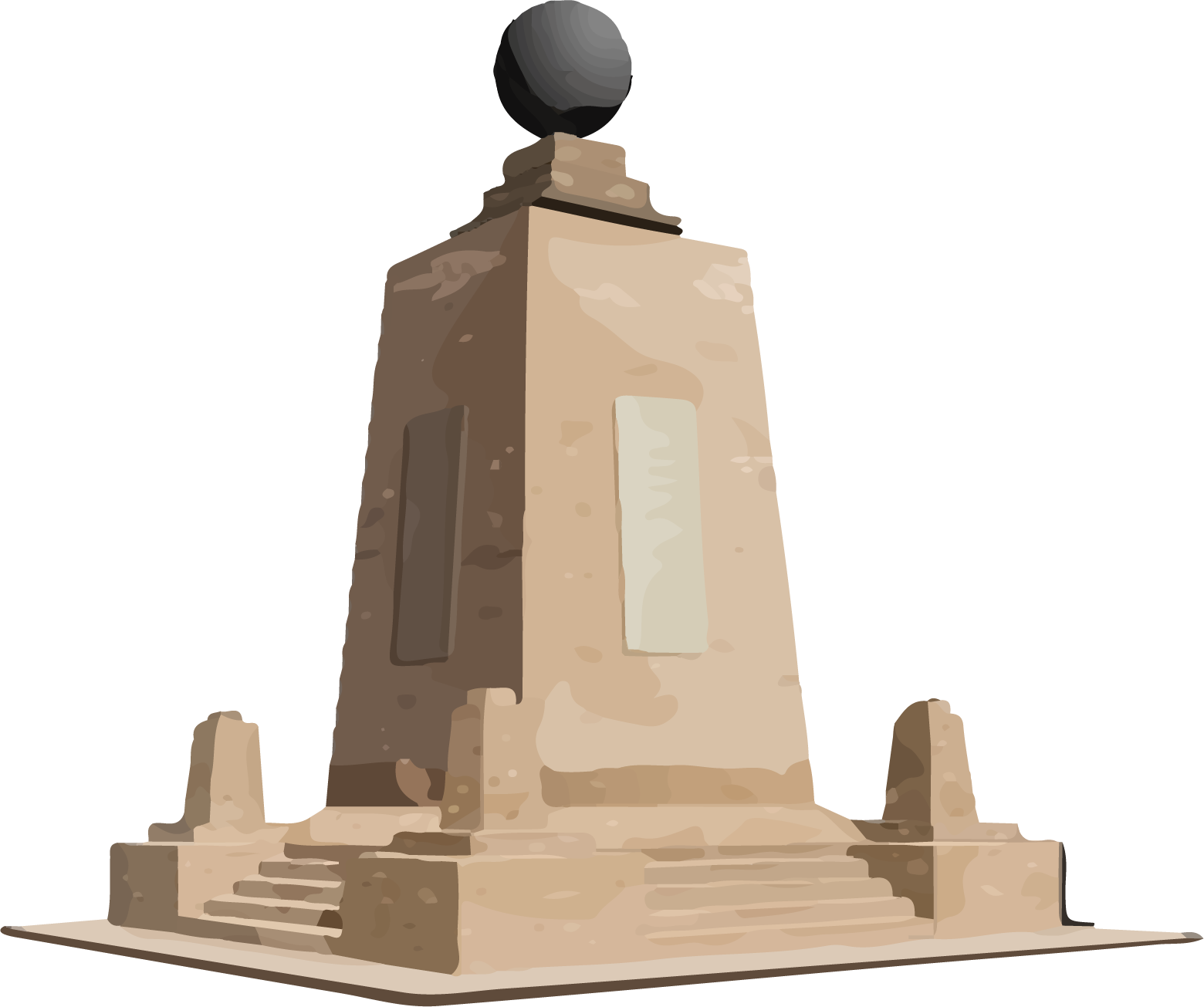
Our Services Include
- Topographical Survey
- 3D Modelling
- Videography

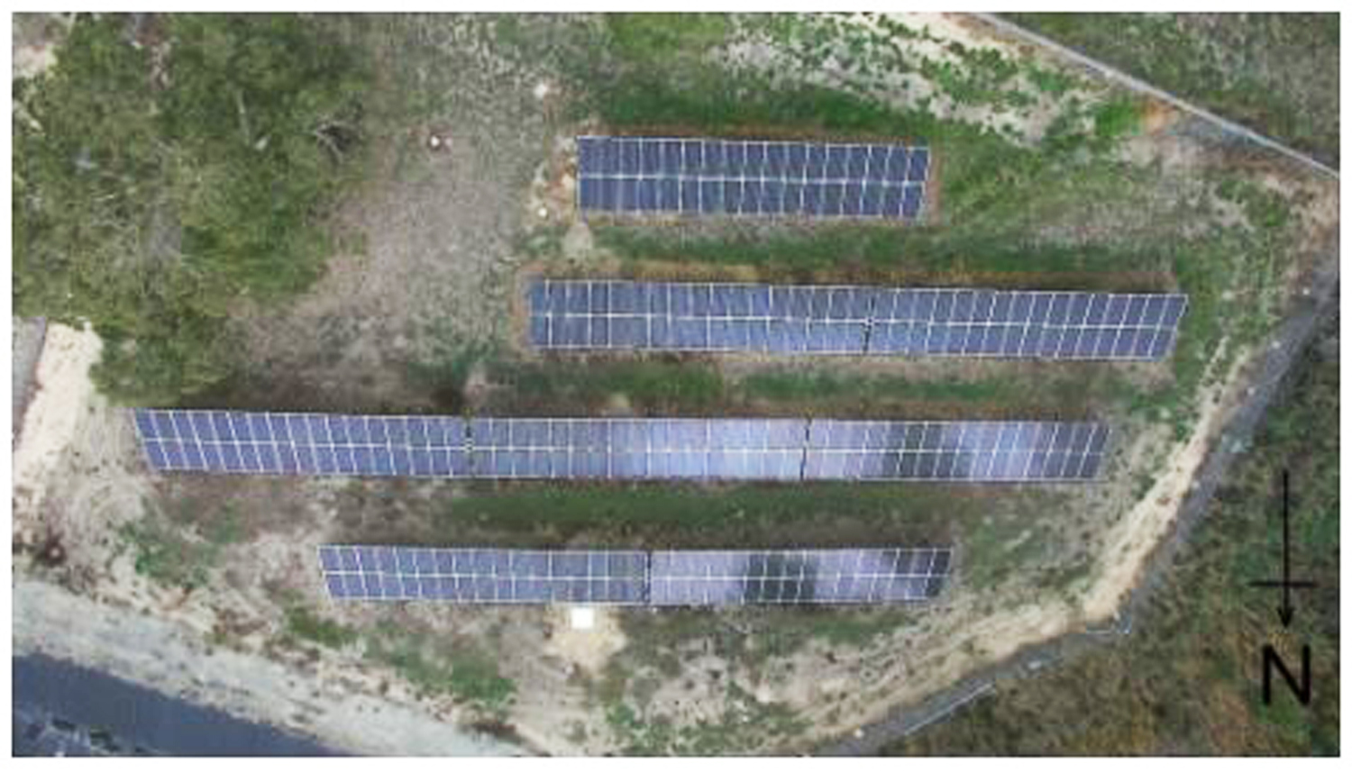
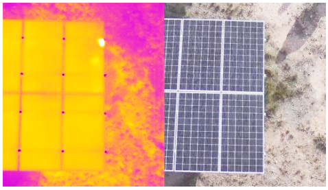
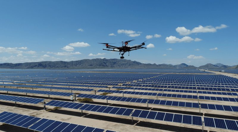
Solar
Drone Surveys are booming in the renewable energy business. It is critical to ensure the quality of the solar power plant in order to provide adequate electricity generation, cost savings, and asset longevity. We provide timely thermal imaging (Aerial Solar) inspections for solar power plants to ensure their safety and effective deployment.
Our Services Include
- Solar Topography
- Solar Thermography
- Inspection Report
- Videography