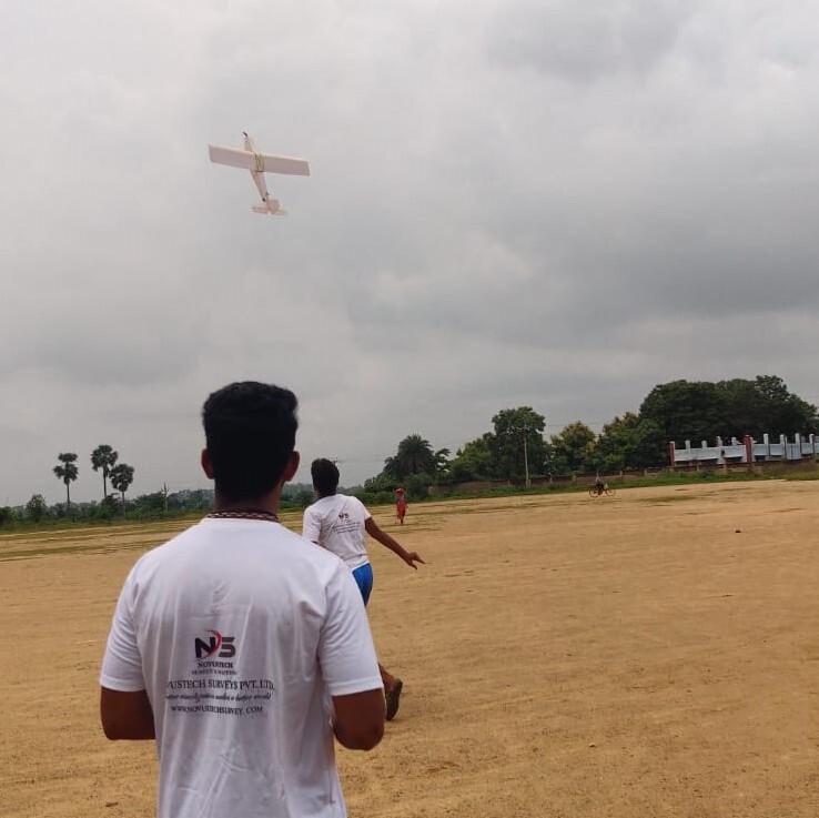
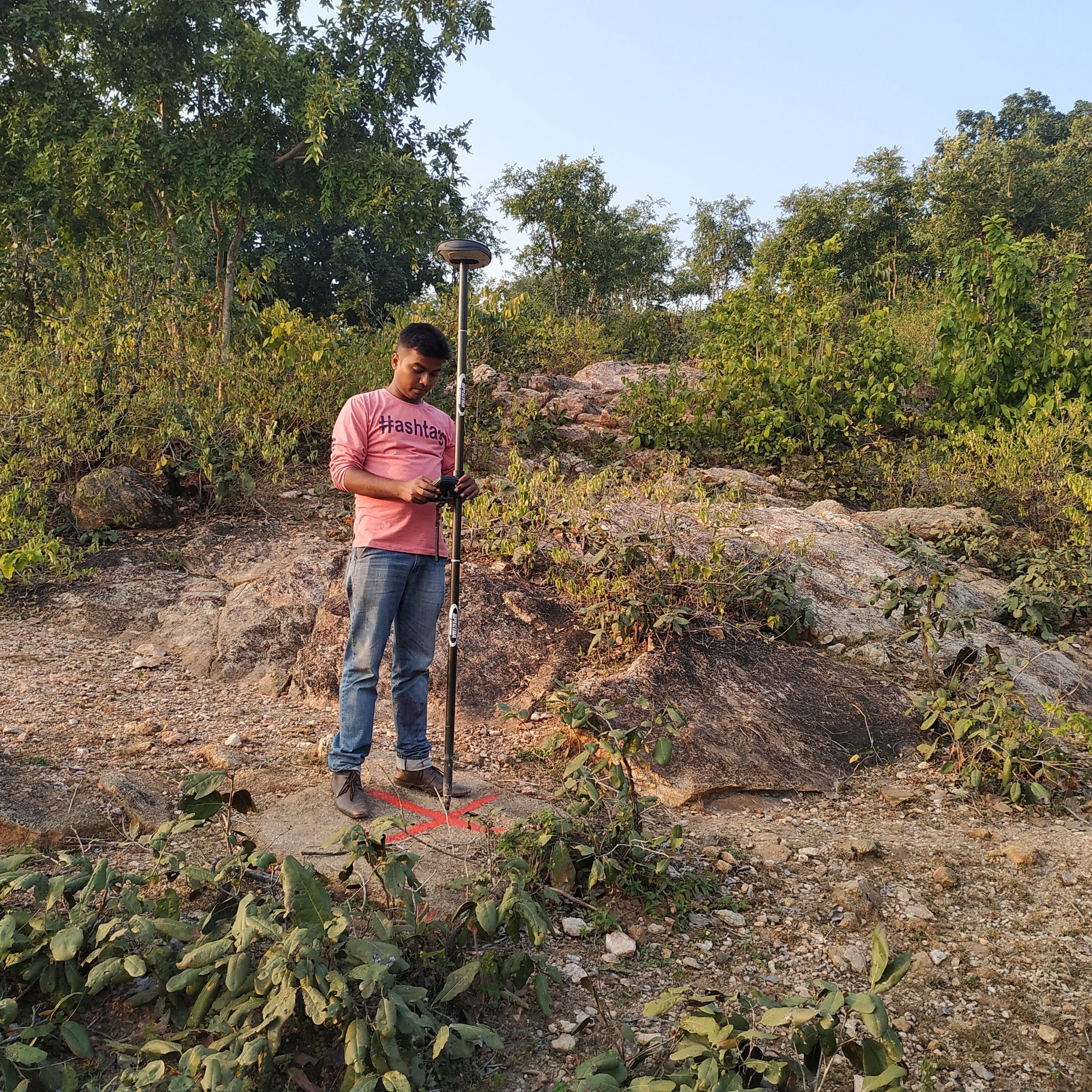
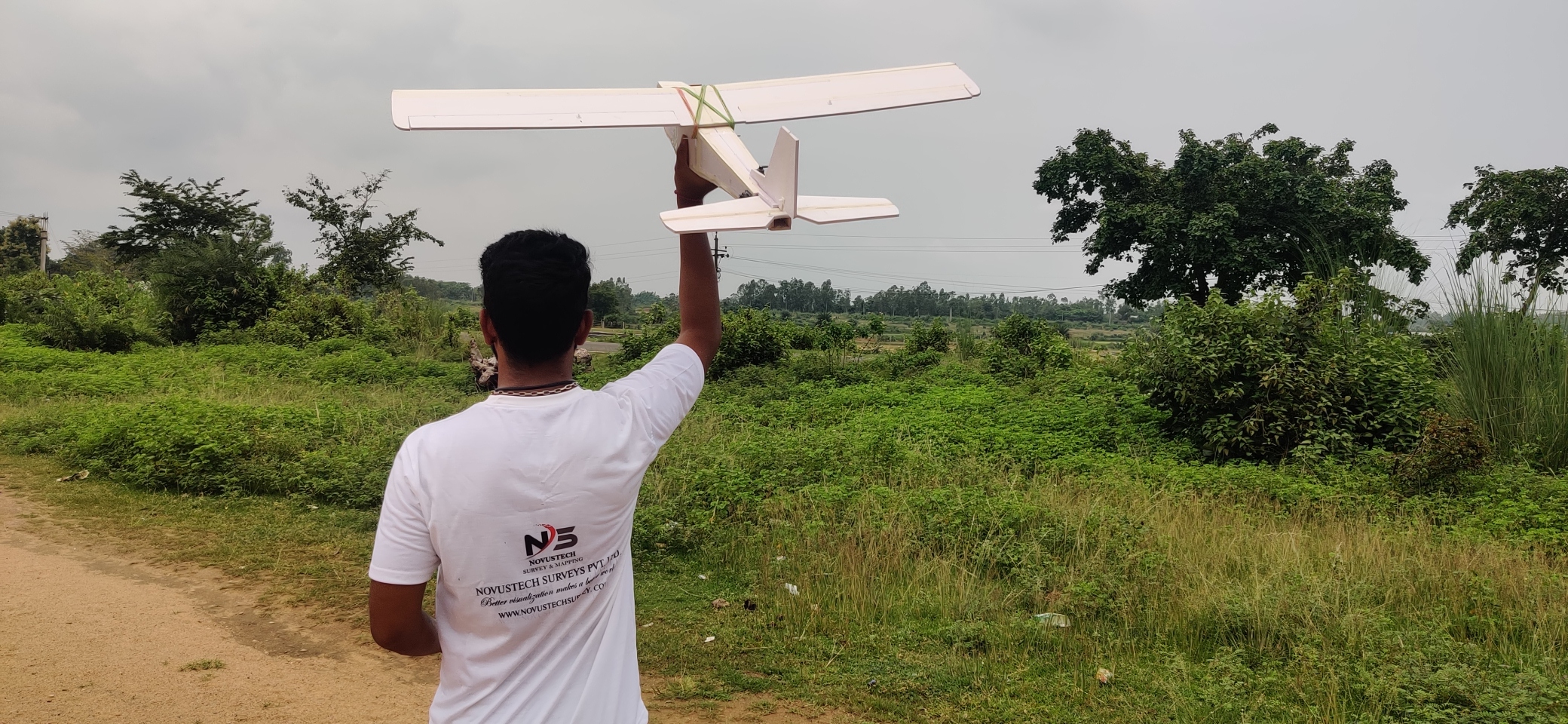
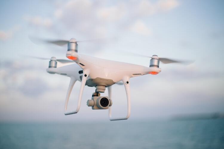
Instrumentation Used

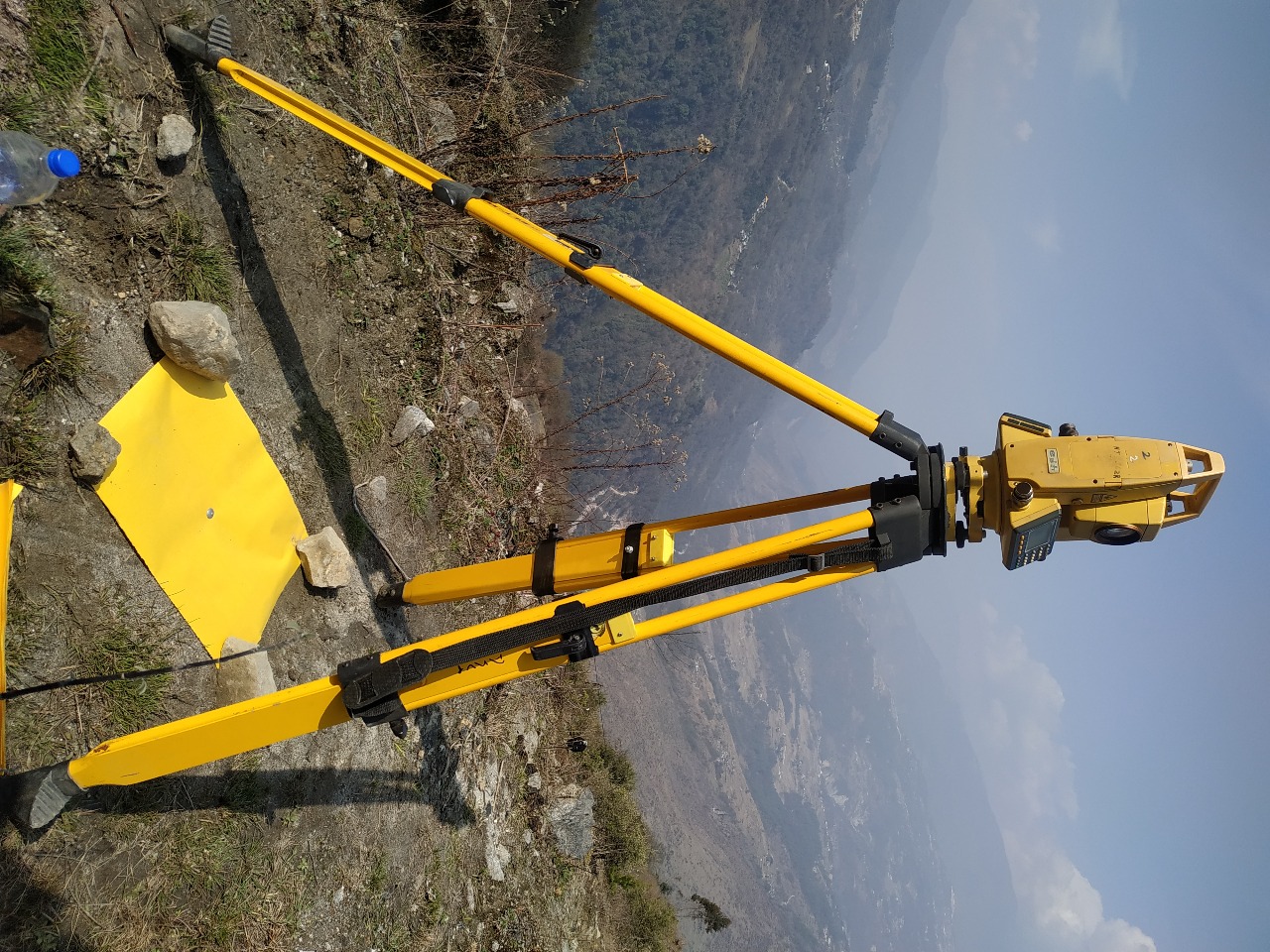
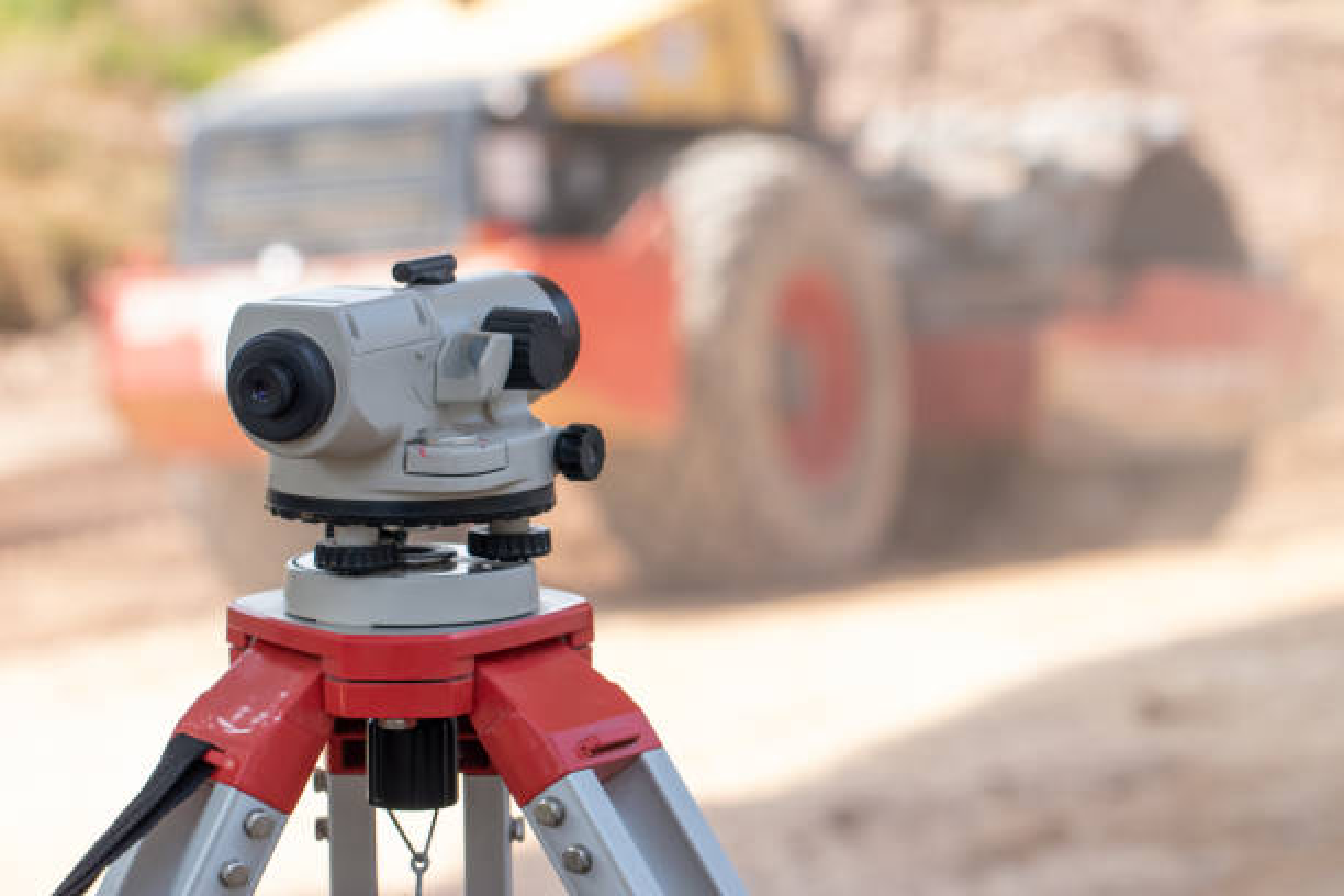
We can reach an absolute accuracy down to 1 cm and 0.7 cm/px GSD under optimal conditions under optimal conditions with a high-end surveying instruments. Higher resolution also yields better map reconstruction.
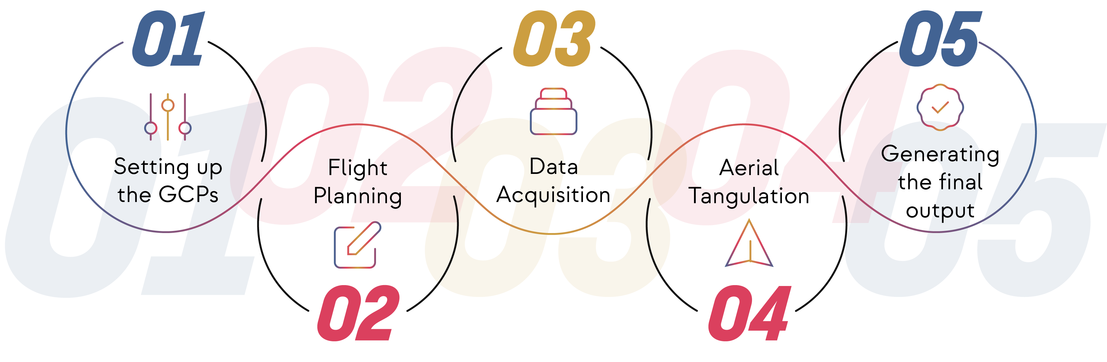
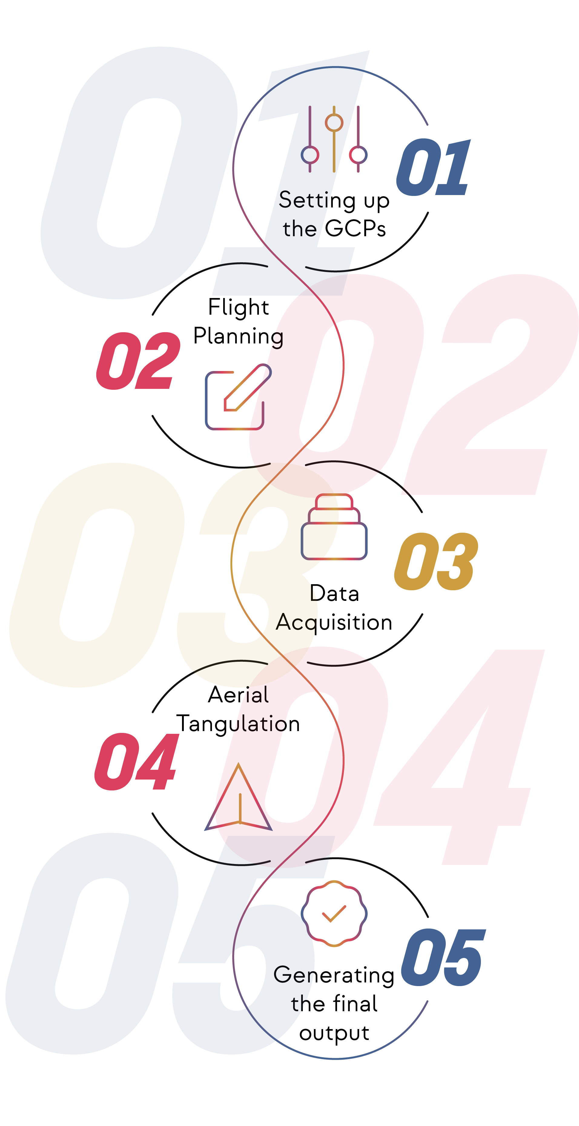
Perfection is our key. We focus on the complete satisfaction of our clients and their hassle free tenure of work with us. We undergo some simple but significant steps to make the client’s operations and maintenance tasks efficient, expedient and economical.
We can reach an absolute accuracy down to 1 cm and 0.7 cm/px GSD under optimal conditions under optimal conditions with a high-end surveying instruments. Higher resolution also yields better map reconstruction.
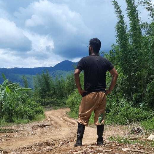
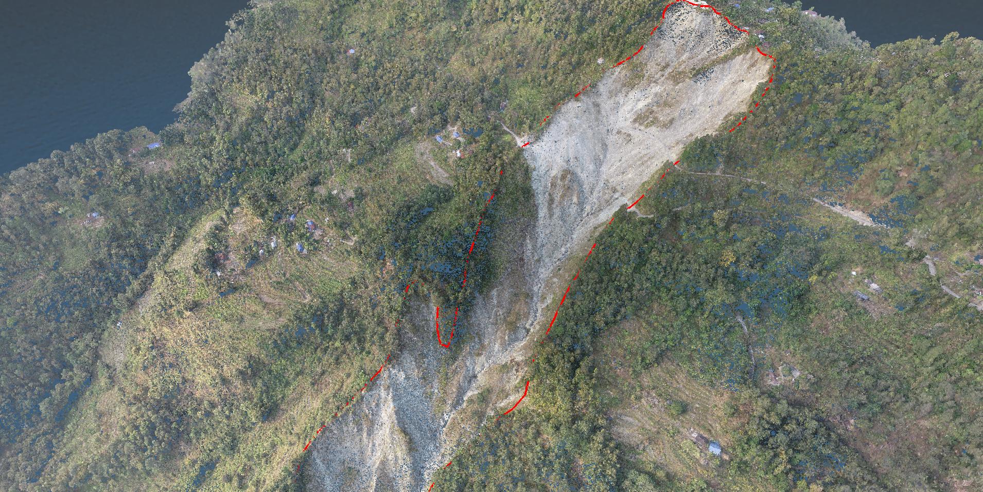
We have clients from ever growing sectors like Mining, Historical Monument Modelling, Landslide Mapping and many others. Get in Touch for our services.
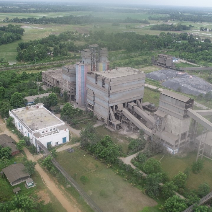
Drone images are corrected for image distortion and stitched together during post-processing to create a highly-accurate orthomosaic map. Each pixel contains 2D geo-information (X, Y) and can directly procure accurate measurements, such as horizontal distances and surfaces.
After filtering objects such as buildings, the drone images can be used to create DTMs with each pixel containing 2.5D information (X, Y, and Z value of the highest altitude).
Drone images can also be used to create DSM models of the area. Each pixel contains 2D information (X, Y) and the altitude (Z value) of the highest point for this position.
Depending on the project requirements, either the DTM or DSM model, with custom contour intervals, can be used to create a contour lines map, giving you a better understanding of the surface of the area shot by the drone.
The 3D textured mesh is a reproduction of the edges, faces, vertices and texture of the area shot by the drone. This model is most useful for visual inspection or for when external stakeholders or public involvement is essential for a project.
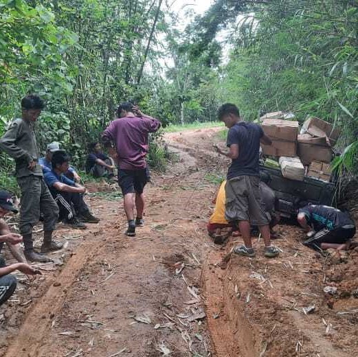
A watershed is an area of land that drains all the streams and rainfall to a common outlet such as the outflow of a reservoir, mouth of a bay, or any point along a stream channel.Drones have come up as key catalysts and efficiency-enablers within the integrated or participatory watershed management approaches.These survey-grade UAVs ensure high-quality intelligence gathering with precision (down to even 5cm Ground Sampling Distance (GSD).
Get in Touch for more information
Unlock the fastest method of survey and elevate your worksite productivity with the most futuristic solution to all your problems.
Regional office - 3/101 Vidyasagar Colony, Kolkata - 700047
+91 9599228159 |+91 9475250255